
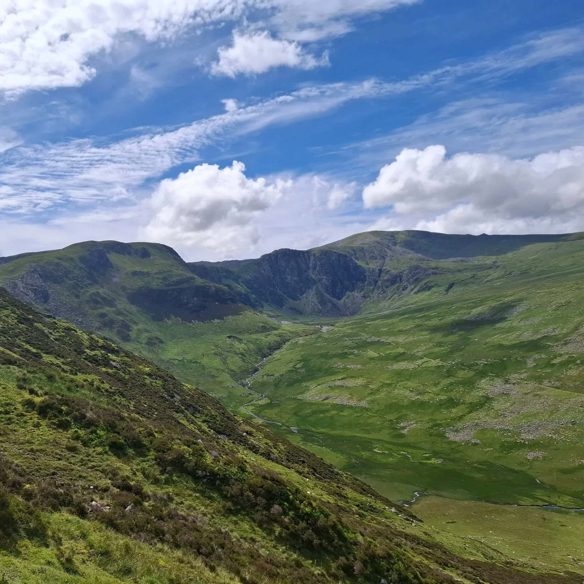
Looking over Cwm Eigiau towards Carnedd Llewellyn
Only a ridge apart from Llyn Ogwen, Tryfan and the Glydderau, Cwm Eigiau is something of a hidden gem. Easily accessible from Conwy, this route leads walkers on a circuit around the Eastern Carneddau, summiting Carnedd Llewellyn.
Home to both an abandoned slate quarry, and Britain’s first mountain hut, Cwm Eigiau is steeped in history. The name describes ‘shoals of fish’, reflecting the natural brown trout found in Llyn Eigiau - the reservoir at the mouth of the valley. Remnants of the quarry works are still visible along the valley floor; as is what remains of the original reservoir dam - destroyed by flood in 1925.
Arriving from Conwy, the coastal scene quickly transitions into that of a lush valley as the road tracks the mouth of the River Conwy. Crossing a bridge, the A-roads give way to smaller links between villages. Just beyond the village of Castell, a narrow road turns left, uphill. The route begins at the end of this steep track leading West from Tal-Y-Bont . There are spaces for around 10 cars, with vehicles coming and going throughout the day. There are two farm gates across the track, which need only be closed behind your vehicle. There are no facilities available at the car park, so plan ahead accordingly.
To begin, walkers first cross the fence at the start of the car park, following a stone track across the fields towards large boulders and dry-stone sheepfolds. Large standing stones mark the end of this track. Here, the route tracks to the right, circling the rounded hillside. The stone path continues underfoot for a while longer. Circling the edge of the hillside, the path continues to ascend gently. In the fields below there lie the remains of an ancient settlement, now only presenting as an organised pile of stones.
As the fence leads uphill and away from the path, the route follows cross-country. Although the ground is somewhat steep, walking remains straightforward, following the path towards flatter ground at the top. The slope here is very uniform and mostly featureless, making the fence a useful tool to keep walkers on the right track. As the ground eventually levels off, the summit of Foel Grach comes into view.
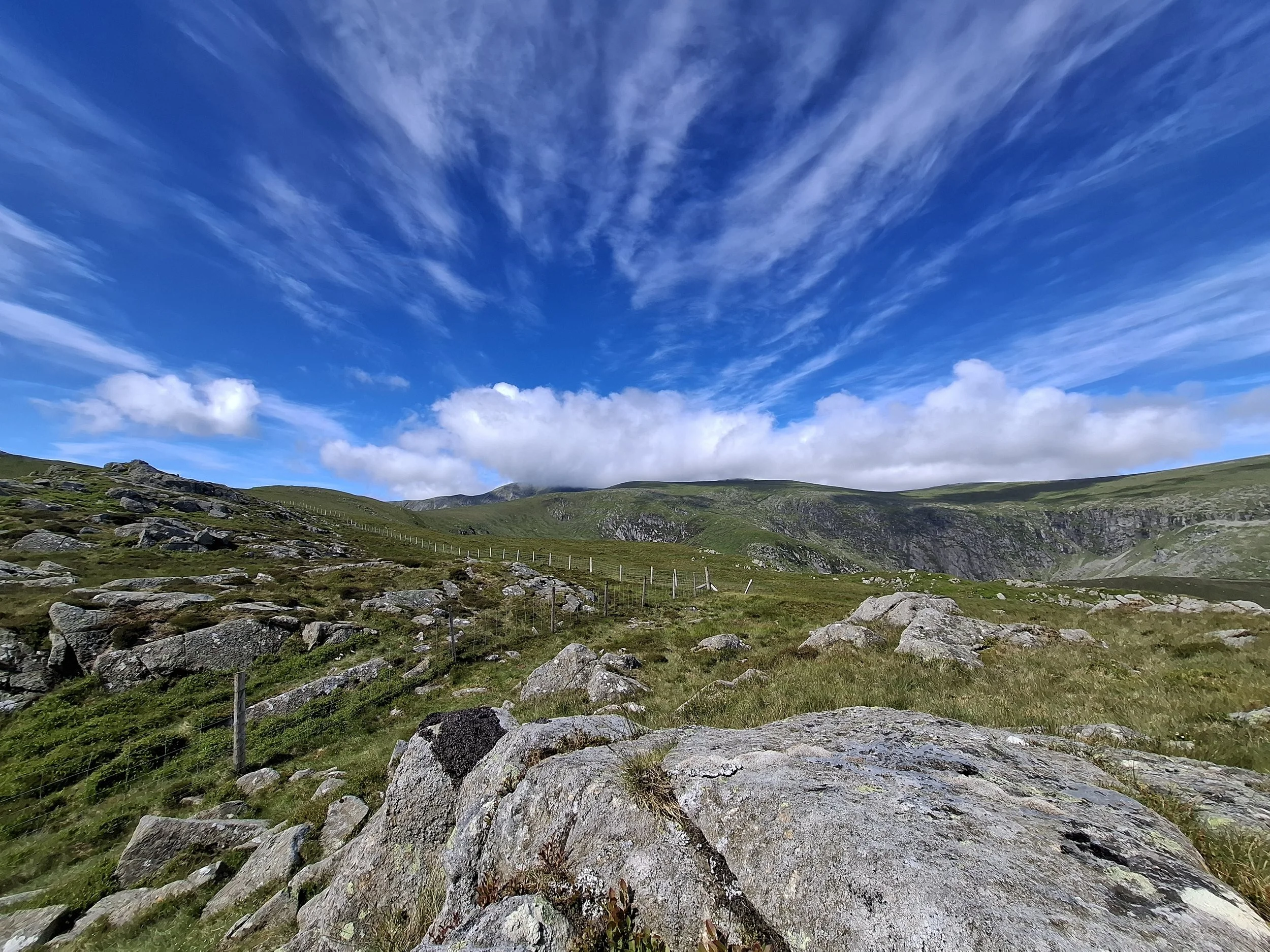
Boulder field on the ascent to Foel Grach. Steep cliffs lead down to Llyn Melynllyn.
The ground continues to rise until the summit of Foel Grach is reacher. As with other mountains in the area, the summit is covered in exposed boulders and stone towers. The area also features an emergency shelter with room for up to six. The shelter is very humble, comprising of a door, window and a number of wooden benches.
A flat saddle makes the crossing back from Foel Grach towards Carnedd Llelwyn very straightforward, as walkers need only walk between the sloping ground on either side. Eventually, the ground rises and the familiar boulders and moraine begin again. Keeping towards the left-hand slope, walkers will quickly summit Carnedd Llelwyn without much effort.
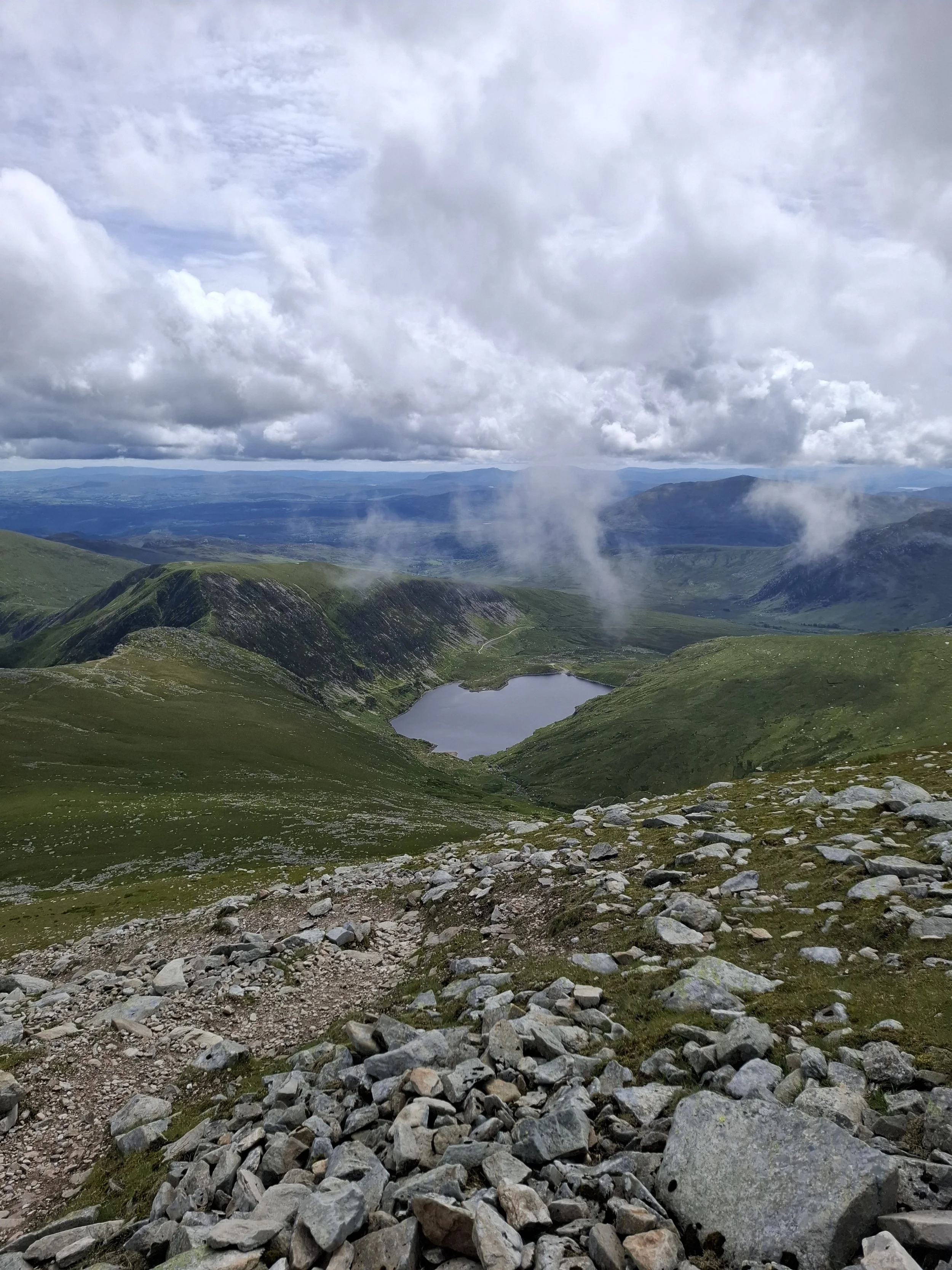
The view from Llewlyn’s summit down through Cwm Eigiau is fantastic. The eastern face drops away steeply, revealing Ffynon Llynant (a small mountain lake), and a view straight down the valley to Llyn Eigiau Reservoir. The summit also features a stone wind shelter.
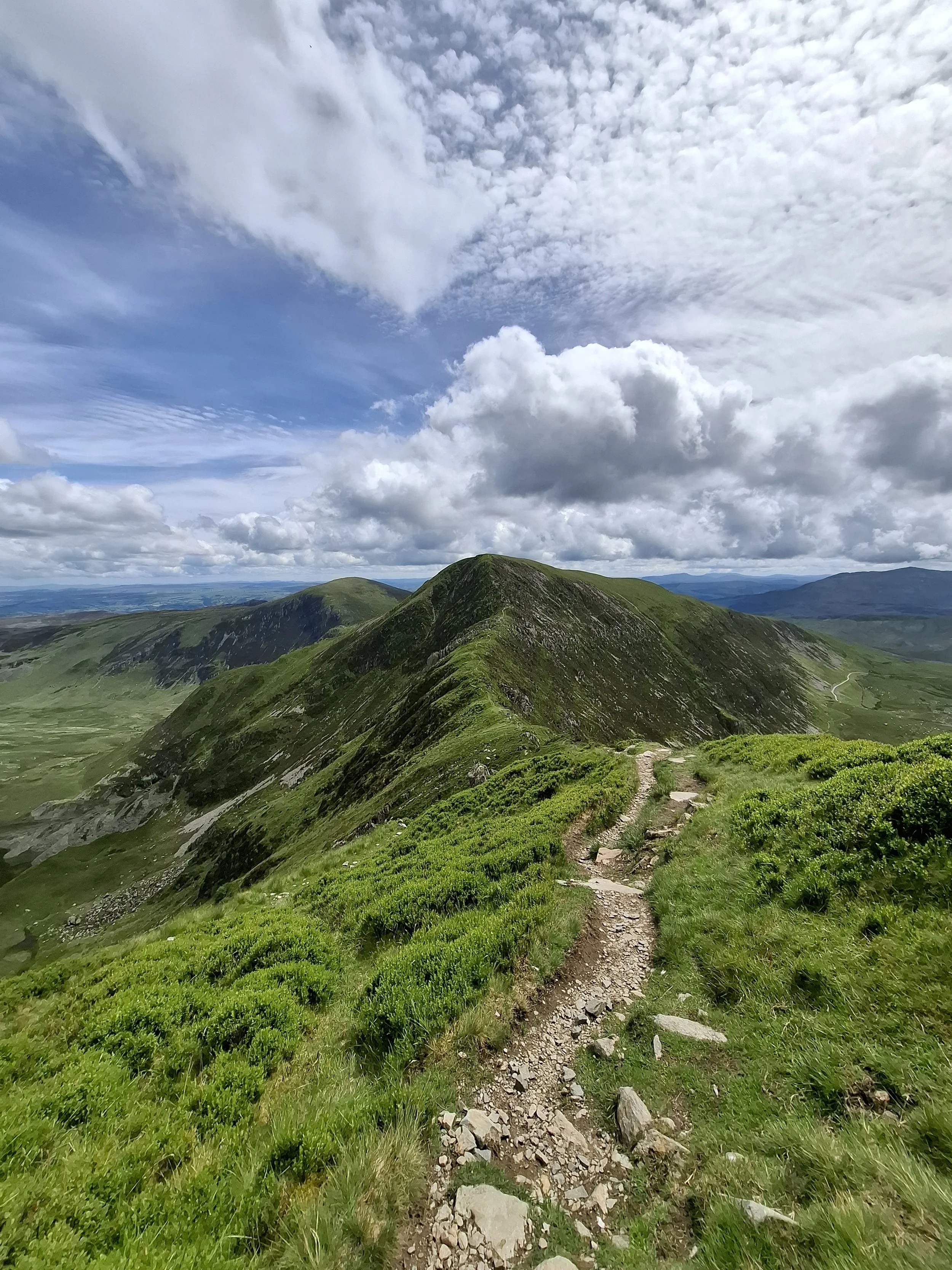
Beyond the summit, the route descends east towards the Bwlch Eryl Farchog. This is a very narrow saddle with steep drops either side. While the saddle itself is flat and pathed, the route on and off require short scrambles with low exposure. It is possible to avoid the scramble off via a lower path. As walkers cross, views Southeast to Tryfan and the Glydderau open up, allowing for a fantastic perspective on some of the UK’s most famous mountains. Tryfan’s spine is highly visible from here, helping define the terrain of what is, in truth, a complicated route up-front.
The route continues across the peak of Pen Yr Helgi Du and Pen Llrithrig y Wrach before steadily descending via the latter’s flatter Northeastern shoulder. A short walk along a well-establish track completes the route, arriving back at the car park.
Cwm Eigiau is one of the more remote parts of North Wales, so care and consideration should be taken before following this route. It is important to always check the weather before setting off, and make an honest judgement as to whether a walk is within your capabilities. That being said, the secluded nature of this area is a delight to experience.
It is easy to find moments of great peace in these hills, rarely interrupted by the presence of others.
Find more places that stay with you.
Become one of fifty founding members, with access to the entire field guide.
Route & Access
This route can be followed via GPX, available below via Komoot.
Parking available at ///exacted.trackers.limp
There is no immediate public transport due to the remote nature of the area. Dolgarrog is the closest village, which can be accessed from Llew Jones 19 and 19s services. The nearest national rail access is at Conwy, also at Llandudno Junction.
