
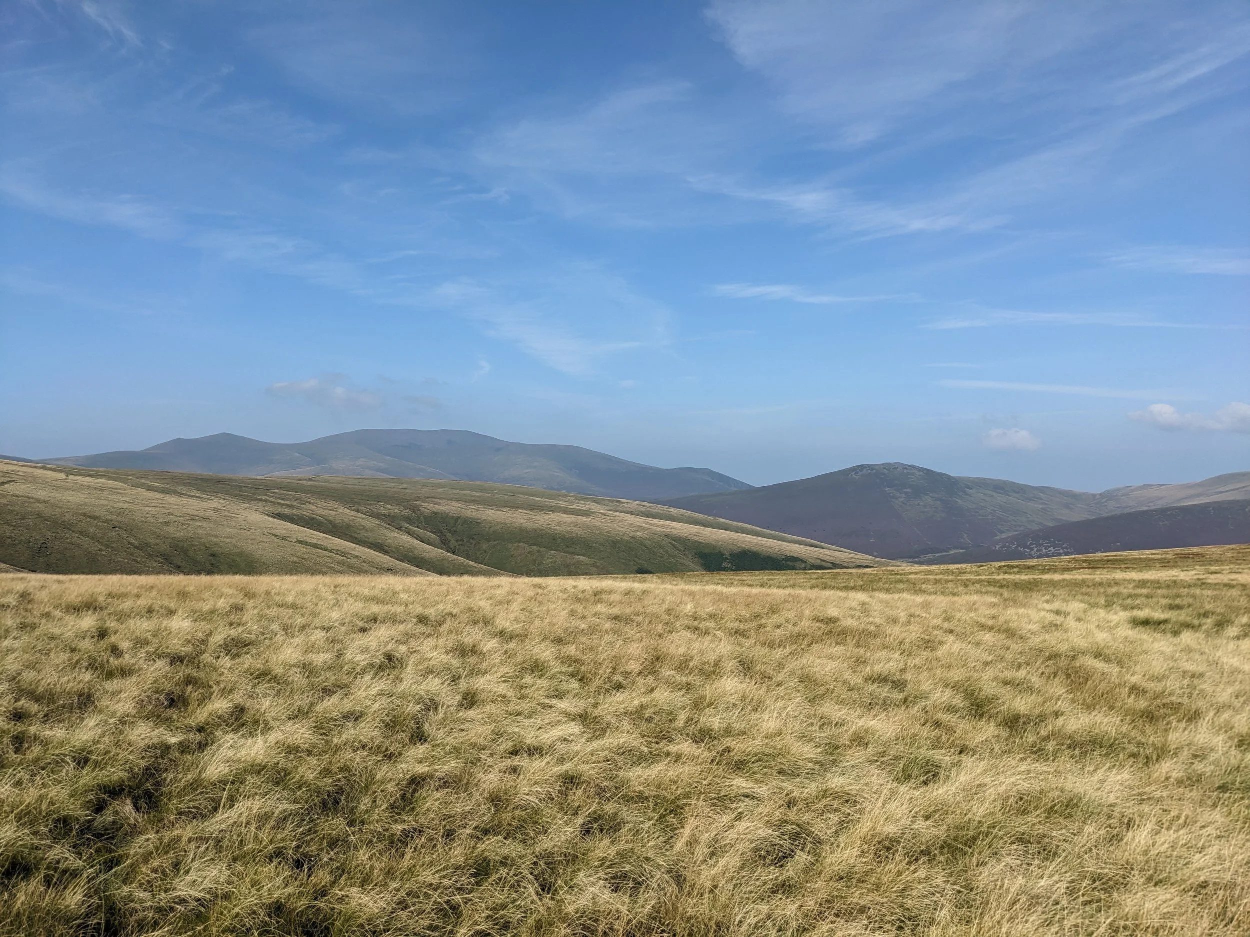
Views across Bannerdale.
Blencathra is one of the most recognisable outlines in the northern Lakes — a long, ridged mountain that rises sharply above Keswick and holds its summit well above the surrounding fells. This route climbs the western shoulder from Threlkeld, following a steady path upwards before the summit plateau opens with views reaching south across the heart of the Lakes and north towards the Scottish borders.
This circular route of Blencathra is a longer day than it first appears on the map, moving through three distinct characters of landscape: the open ridge, an exposed edge, and the wide moorland bowl of Bannerdale that most people walking Blencathra never reach.
This route begins at the Field Studies centre above Threlkeld, where there are a number of parking spaces. It is also accessible via bus to Threlkeld, adding just a short walk uphill to the Field Studies centre. Being near Keswick, there are great public transport links across the Lakes and beyond.
To begin, walkers start up a clear track following the shoulder of Blease Fell. This is a steady, continuous climb that can be completed in around an hour and a half. There is a good stone path underfoot which is regularly maintained. Pathfinding is very straightforward, as all upward slopes eventually lead to the summit Blencathra. The craggy southern face of the mountain serves as a natural handrail.
The ground flattens towards the summit, with a large flat area crossed before the top of Blencathra. This terrain is the origin of the mountain’s alternate name: Saddleback. Look forward to fantastic panoramic views here with the heart of the Lake District laying south, and hints of the Scottish Borders found north. This is one of the best places in the Lake District to experience a real top-of-the-world feeling, emphasised by the distinct lake of surrounding peaks; hard to achieve on the central fells.
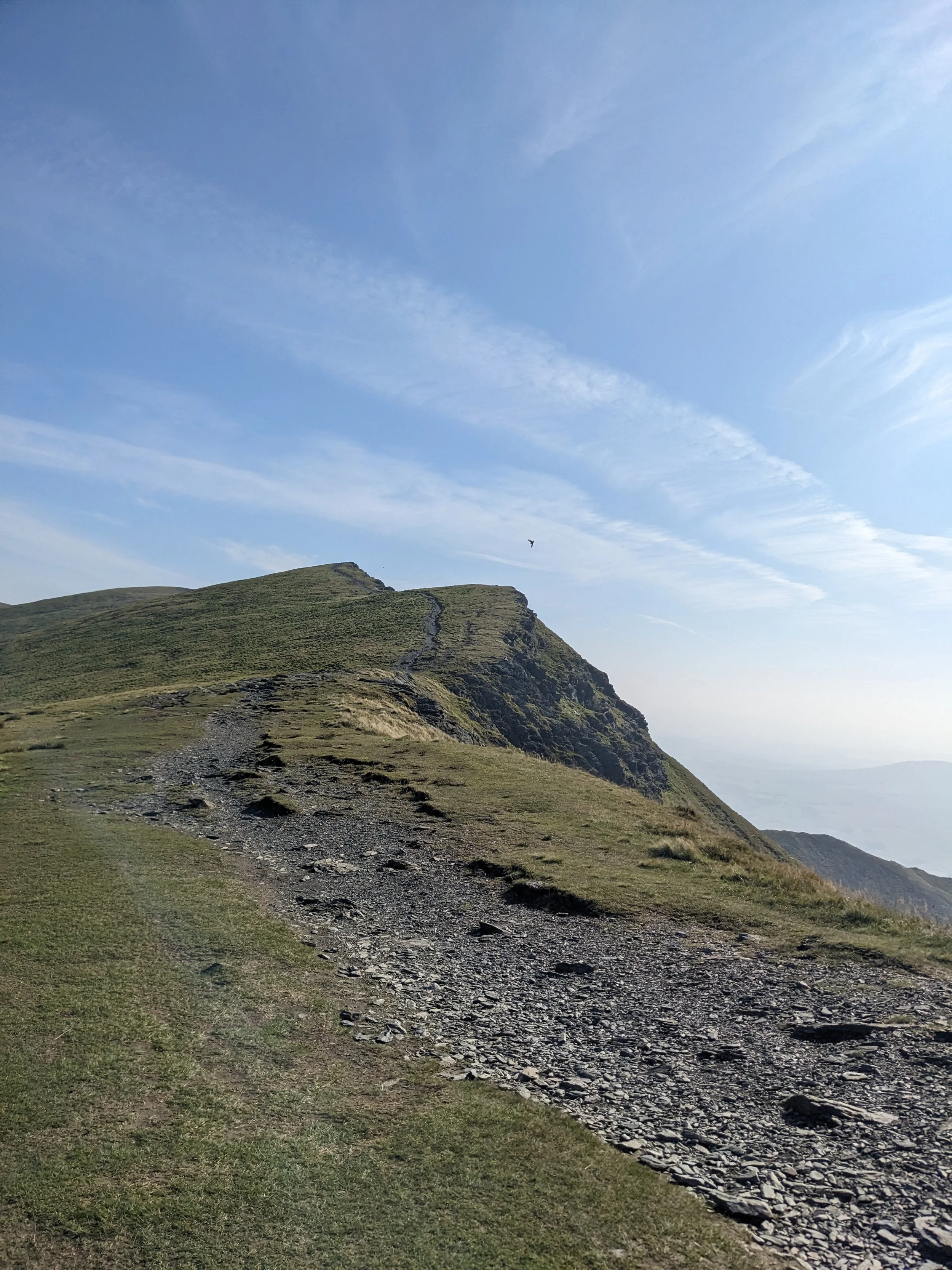
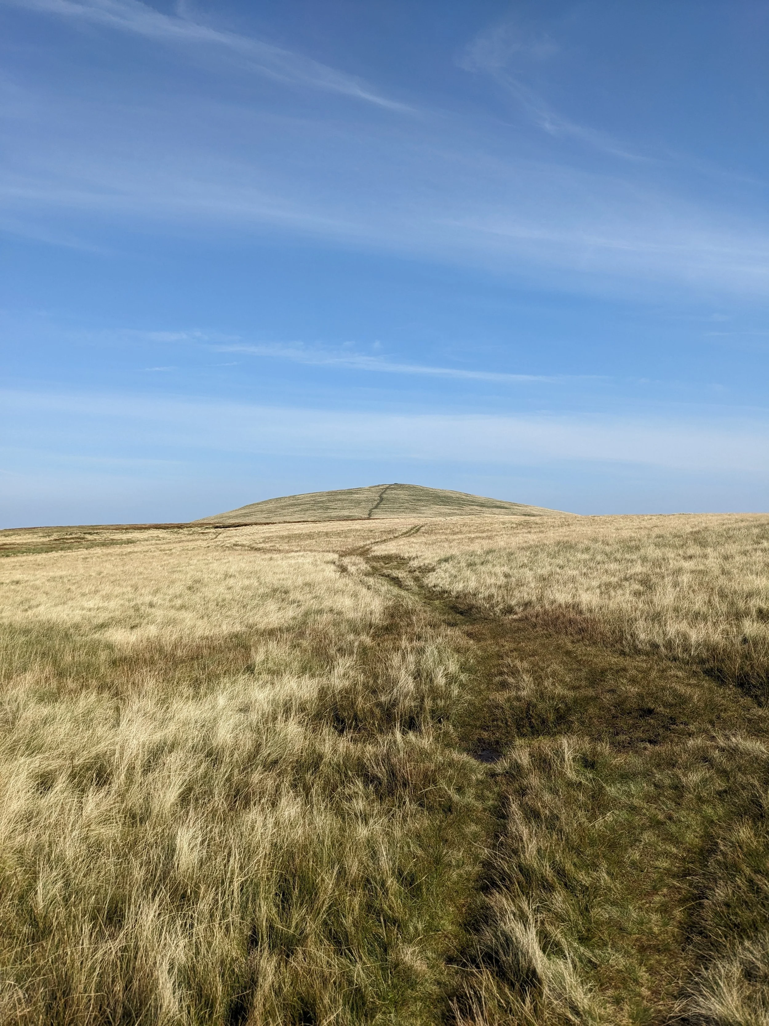
Looking up towards Blencathra Summit.
The summit itself is a humble place, marked only by a small, circular stone. There is no shelter here, so those visiting in poor weather should continue on quickly to lower ground. Perhaps the experience is better this way, with nothing to distract from the drama offered in the ground below. Despite the path underfoot, it is easy to picture the land here as untouched by the work of human hands.
Turning north towards Atkinson Pike and Sharp edge, the ground remains mostly level as walkers circle the bowl leading down to Scales Tarn. Sharp edge descends East to the tarn. The feature is one of many glaciations found in the National Park, created when two glaciers met, wearing the rock away into the razor-edged feature found today. Crossing the narrow ridge, there are moments of high exposure with flat stone slabs underfoot. The ridge is exciting in good weather, but unadvised in low visibility or with wet rock. Generously, the fells provide an alternative way: descending immediately from Blencathra heading East towards the tarn. Here there is much flatter ground and established paths. Both the Sharp Edge path and alternative path reconvene at the tarn.
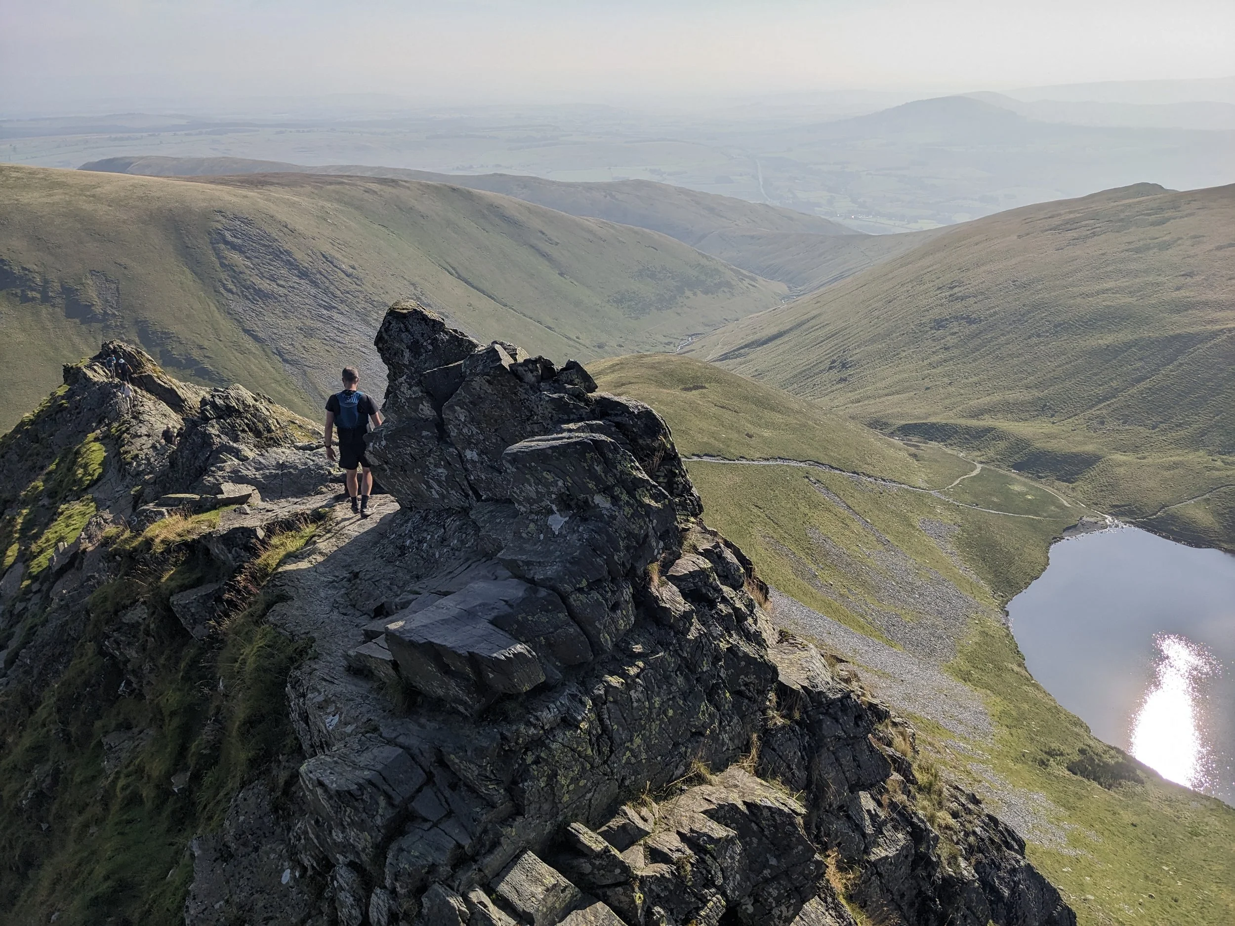
Crossing Sharp Edge.
Following Scales Beck (outlet of the tarn), a path descends into the basin of the River Glenderamackin. A path follows the river’s path uphill to a gap between the hills. Traversing North to where the river meets the top of the hill, walkers will experience a feeling shelter, especially in contrast to the recent moments spent atop Blencathra. Upon reaching the top of the stream, a faint footpath crosses west and leads towards Bannerdale Crags.
Upon exiting the valley holding the Glenderamackin, Bannerdale Crags immediately opens up, offering circular views over grassy moorland. The ground rises steadily to the summit which is somewhat indistinct, lacking any clear marking besides the lack of higher ground. Beyond the summit, the ground drops away steeply in a cliff, before flattening into the basin of Bannerdale Beck. This is another glacial formation, the result of ocean-floor mud being washed away, leaving the near-vertical rock face behind. The disctintly curved shape of the land here is grand and ampitheatrical, perfectly framing the beck below.
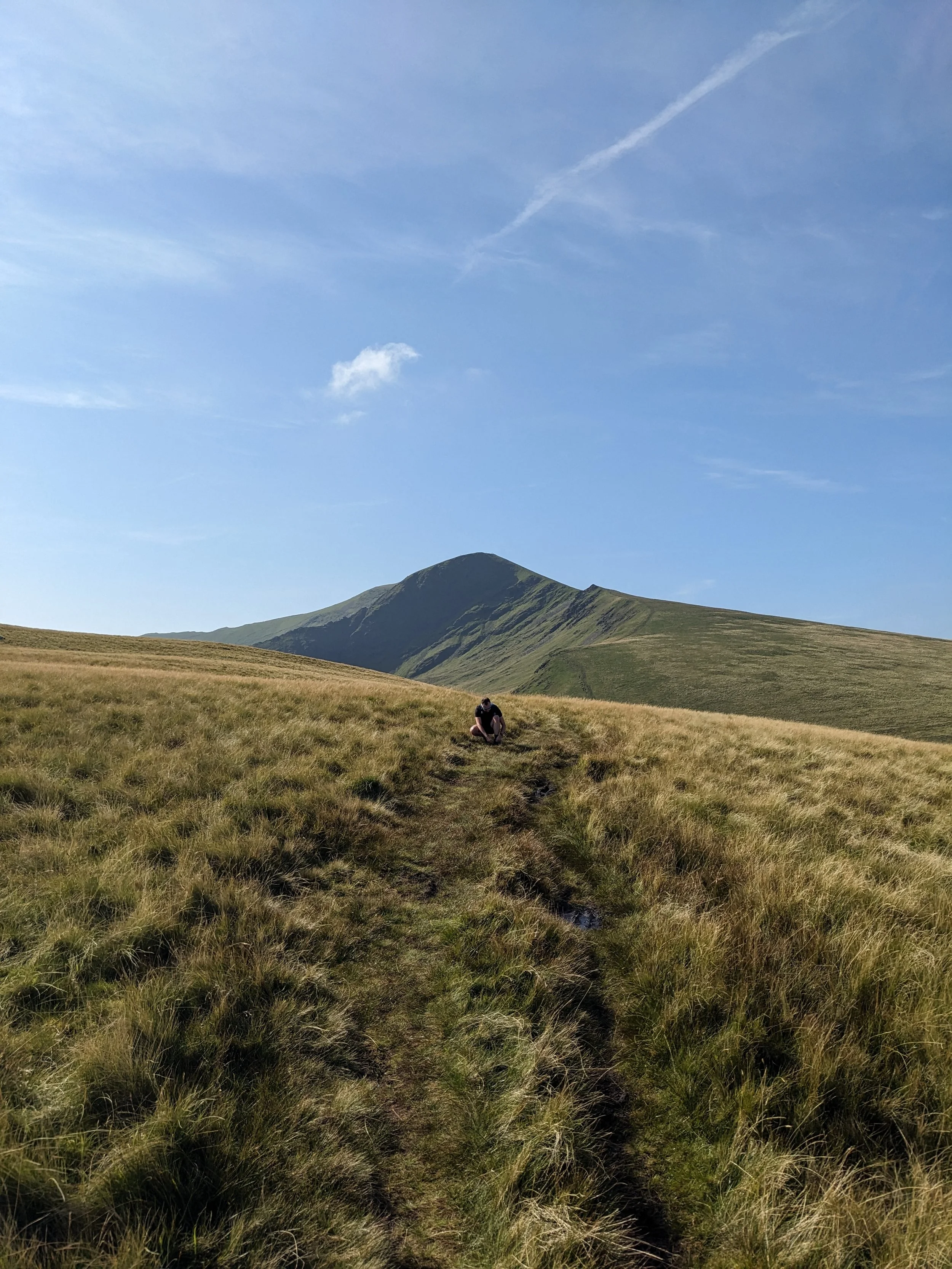
Tracing the shoulder of Bannerdale crags, the route steadily descends to once again cross the Glenderamackin; continuing further downhill to the cottages at Scales. Here, walkers follow the old stone wall West to return to the car park. The path here offers views back north to Blencathra and its fallen face, with three distinct shoulder features jetting out south.
The mountain looks different from down here — dramatic, perfectly formed, a mountain easily known by its silhoutte. Bannerdale lies hidden behind, largely unseen from the road, largely unvisited. That, perhaps, is the point.
Find more places that stay with you.
Become one of fifty founding members, with access to the entire field guide.
Route & Access
Parking available at: ///hires.walks.affirming
The X5 bus from Keswick reaches Threlkeld in just over 10 minutes. The bus continues to Penrith for National Rail access North towards Carlisle, or South towards Manchester
