
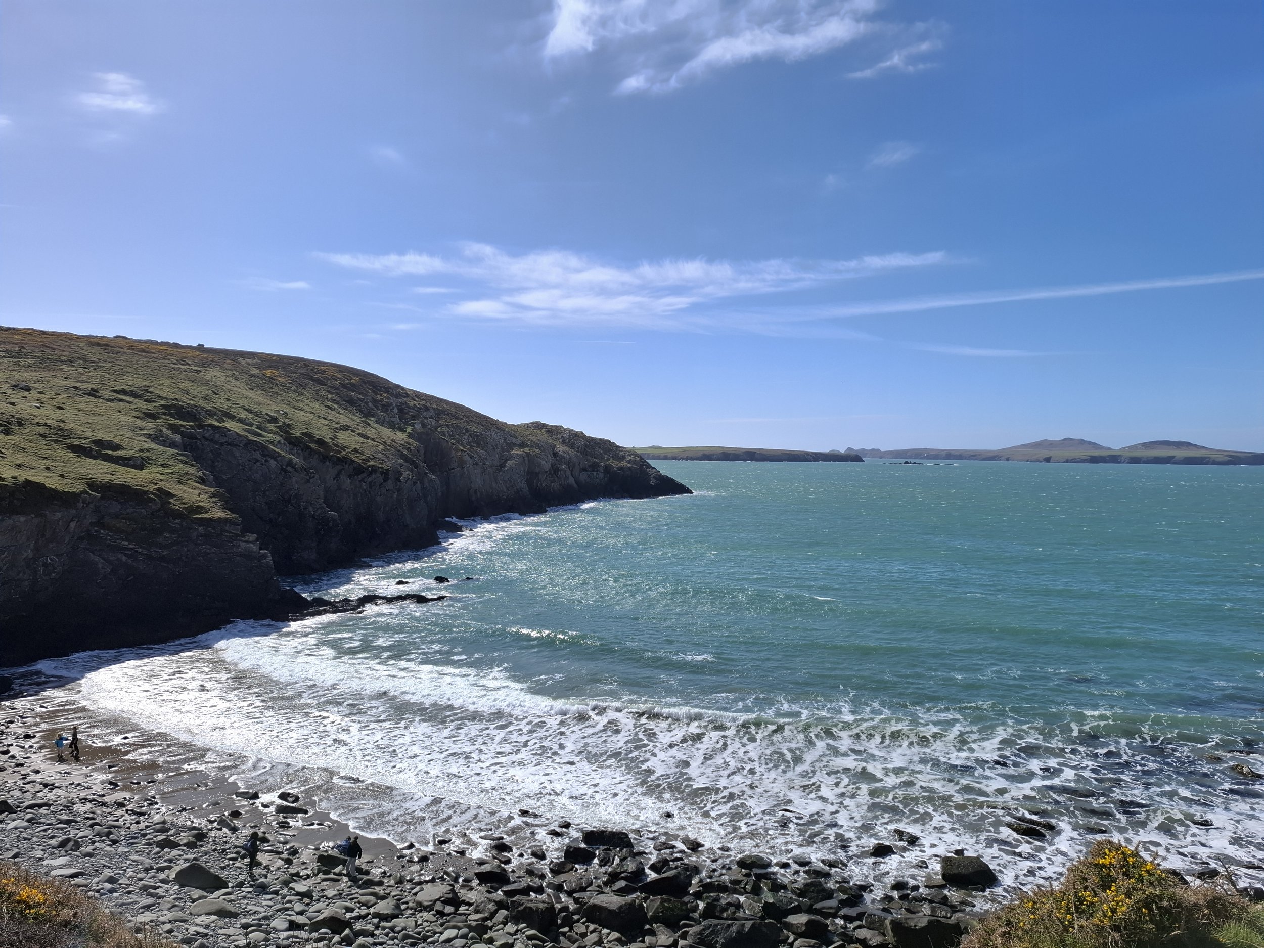
Rounding St David'‘s head
Wales’ smallest city is a very special place indeed. Situated at the far Western edge of Wales, St David’s is a colourful market town surrounded by famous Pembrokeshire coast. This route visits some of the large Carns visible from St David’s, along with the beaches on the way.
The planned route below begins on the outskirts of St David’s, however walkers could very easily start in town. Following a public footpath, the route moves uphill beyond a farm before reaching into Open Access Land. Here, walkers are free to move away from paths and travel cross-country.
The ground immediately rises to summit Carn Perfedd, a small climb at only 142 metres. While nothing dramatic, it serves as a clear opener to the coming views of the coast, setting the tone of the day to come. Continuing beyond, walkers descend towards the coast to catch the Pembrokeshire Coastal Path. Being a coastal walk, there is a healthy amount of Gorse in any open land, so long trousers and careful path finding are useful.
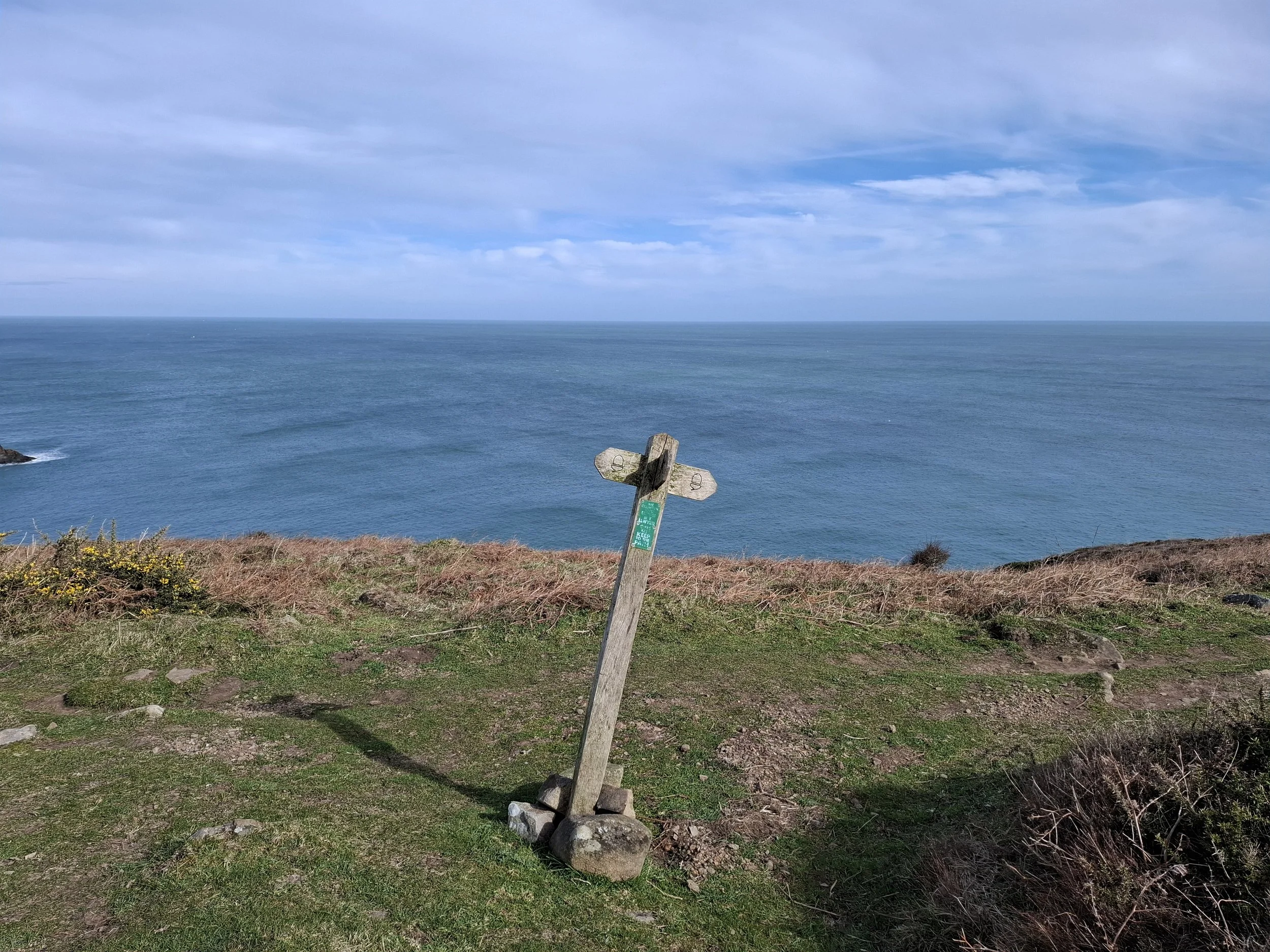
Coastal Path Fingerpost
Following the coastal path, walkers may be treated to views of Ireland on exceptionally clear days. The sea often roars and crashes at the foot of the cliffs, providing a soundtrack to the journey. The cliffs here are tall and exposed, but the path is maintained very well and is clear to follow. If walkers prefer to avoid the heights, there are options to walk further inland and continue in the same direction.
The path weaves between cliff edges and gentle meadows, with rolling hills often separating the two. With this gently changing land, it can be easy to wander off course. This may be - to certain walkers - the entire point. What a privilege it is to find ourselves ambling through beautiful grasses growing between hills, the markers of human development obscured.
The majority of the stones are what remains of an Iron Age fort, excavated in 1898 - the walls of which remain easy to trace. At the entrance to the head lies a more ancient construction: Coetan Arthur Dolmen. The capstone of this burial chambered was positioned around 5000 years ago, marking early human activity in West Wales. It is humbling to consider such ancient peoples living and working in this beautiful place.
Eventually the land runs out, as the route reaches St David’s Head. The headland serves as a boundary between the Irish and Celtic Seas, and features an incredible number of Iron-Age vestiges. What may at first seem to be natural rock-formations, on closer inspection, reveal the work and thought of human hands. What looks like scattered rock turns out, on closer inspection, to be the remains of walls, dwelling and burial chambers. Worth slowing down for.
Returning inland, walkers will be drawn towards the sound of crashing waves at Porthmelgan - a narrow beach where runoff from the hills above enters the Celtic Sea.
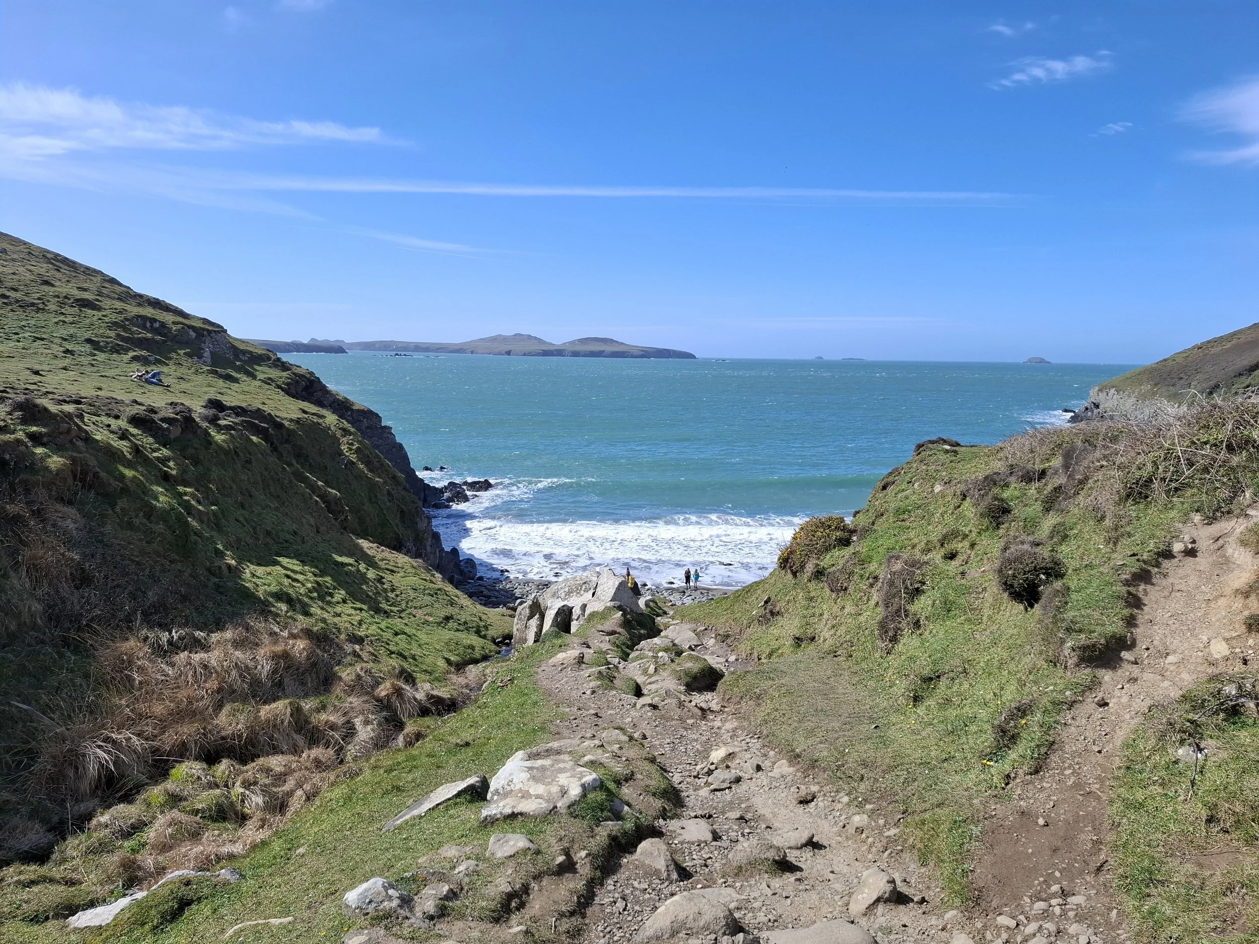
Porthmelgan Beach
The route here ascends the final climb of the trip - Carn Llidi. A marked National Trust trail leads uphill towards concrete slabs. A very short, sheltered scramble is required to reach the top itself. Views here of both the farmland and sea are spectacular and worth stopping to enjoy.
Returning to the original trail, a steep climb uphill leads away from the sea and back towards St David’s City. The route here alternates between paved country lanes and winding footpaths, with St David’s cathedral quickly coming into view. Following the lanes over rolling hills brings walkers to the old Bishop’s Palace gardens at the foot of St David’s high street, concluding the route.
Find more places that stay with you.
Become one of fifty founding members, with access to the entire field guide.
Route & Access
The above route begins on a country lane outside the city centre, at ///deals.intricate.repair
This location is accessible easily on foot from the centre of St David’s.
Responsible roadside (layby) parking is available in the surrounding area. Be aware that this area is heavily farmed, with tractors and machinery often travelling the local lanes.
Due to its location and low population, there is very little public transport available, save small buses that serve coastal villages from the town centre.
The closest national rail link is North, in the town of Fishguard.
